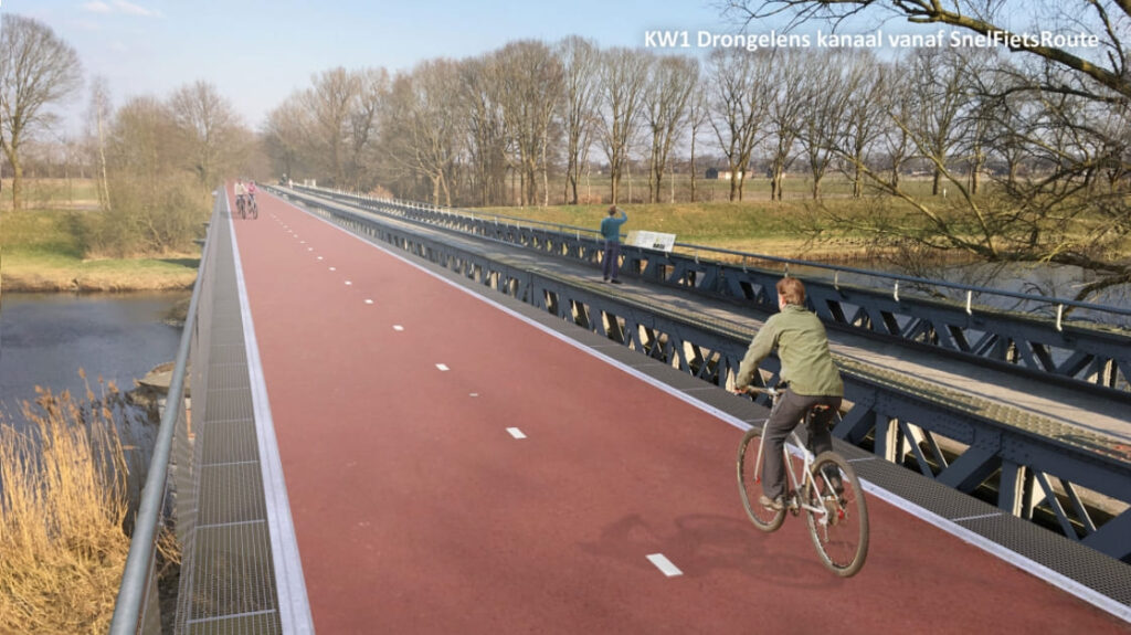
Pioneers in surveying

Using meaningful innovations, we digitize the outside world. We do this with our aircraft, scan cars and surveyors. By combining these measurement methods, we always have a customized solution that adds value for our customers.

Het team
Onze systemen
Projecten
Vision 10
Producten

Scroll

A young and motivated team

A young and motivated team

These are the faces behind our products. With a team of thirty skilled and motivated people, we are always ready to deliver fast and accurate work.

Our systems

With four airplanes, three surveying cars and our groud surveyors, we carry out a variety of assignments all over the world. From GPS measuring, mobile mapping to airborne LiDAR. Technologies that can all be combined to achieve the best possible result.

Own your data!

With Vision 10 you get insights into all your own data. Vision 10 is a web viewer in which not only our supplied data can be found, but also the geodata of other parties. This gives you complete freedom to choose the right supplier yourself and build up your own historical data!

Our products

Ortho- and Stereophotos

Airborne LiDAR

Digital Terrain Model

Oblique images

3D City model

Clients

Kavel 10 in the picture

Lorem ipsum dolor sit amet, consectetur adipiscing elit. Nunc faucibus, est in malesuada luctus, elit mauris convallis lectus, vitae vulputate odio est quis libero.