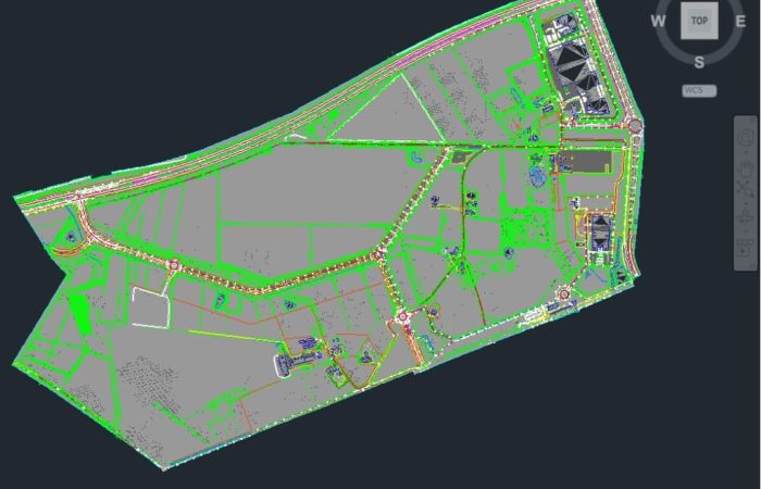
A Digital Terrain Model or a DTM is one of the most commonly supplied products of Kavel 10. In a DTM, predetermined elements of an area are measured and developed into a digital measurement file. A Digital Terrain Model is processed according to the Dutch Cad standard (NLCS) and delivered in an Autocad environment.
Every month we deliver about 25 fully developed DTM measurements to our customers. As a result, we have a lot of experience with this product and we can deliver high quality within a short period of time.


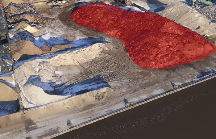
The name says it all once again, we digitize the outdoor environment. These DTM’s are often used for urban projects. Based on the collected data, a model in AutoCAD is processed into vectorized line files in NLCS structure. DTM also often refers to a detailed height file of the ground level. In this case, it is used for calculating quantities and heights.
For most digital models, we use a combination of recovery systems. We always tailor the collection to the needs of the customer and the project area to be measuring. By combining LiDAR with photogrammetry, the accuracy of LiDAR is used with the accessibility of imagery. Based on these 2 datasets, we can reprocess accurate DTMs.